

|
|
|
Ice caps
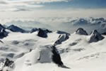
Ice caps are extensive sheets of ice. Technically they cover an area that is smaller than 50,000 km², anything bigger being called an Ice Sheet. Eg, the Greenland Ice Sheet.
Ice caps are not limited to high altitudes and can be found at low level in northern areas, for example the Svartissen Ice Cap in northern Norway. They are typically a large expanse of snow covered ice that feeds a collection of glaciers around their perimeter. The ice cap may be broken by outcrops of rock forming the only navigation points for miles around.
Typical scenery around the ice cap may consist of the large ice masses separated by very deep, steep sided valleys containing lakes fed by glacial outwash and meltwater, low shrub growth of dwarf silver birch trees and grasses.
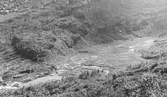
The valleys offer the only low level routes in such areas. Unfortunately they are fed by glacial streams that can reach 40 or more miles per hour, and which flow off the valley walls at 90° to the course of the valley itself. It makes progress very slow and wet, often with huge detours and back tracking to avoid water courses that are too dangerous to cross. In the summer they are also very popular with the local insects of the biting kind.
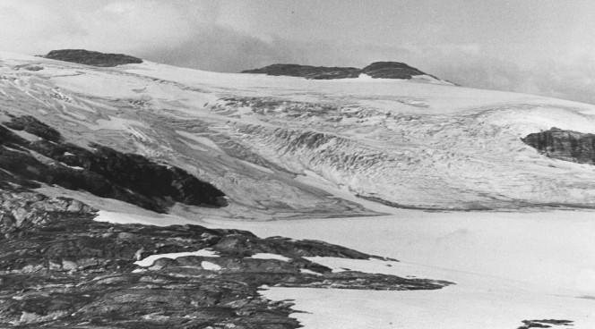
The edges of the ice caps often show evidence of past glaciation. This image was taken whilst camped on edge of a glacial lake. The level of the lake has dropped in recent times revealing a series of terraces, each one representing a different ancient lake level. In the foreground you can see evidence of a higher lake bed level represented by the unconsolidated rock flour sediments.
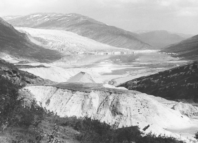
Another drained lake bed on the fringe of the ice cap, this time forming part of a chain of lakes that flowed from the glacial snout of Austerdalsisen and from there into Glomsdalvatnet and one of the deepest underwater cave systems in Europe.
The ice cap as it looks today. The surface in the foreground is bedrock, a garnet mica schist, totally bare of soil. The rock surface is only exposed like this for a few months each year, usually late June to early September, them it is buried by winter snows again.
![]()
We value
your ideas and suggestions. Please contact the
maintainer of this site.
This page
can be found at: http://www.geography-site.co.uk
Last update to
this statement was on:
February 23, 2006
© Copyright Geography Site